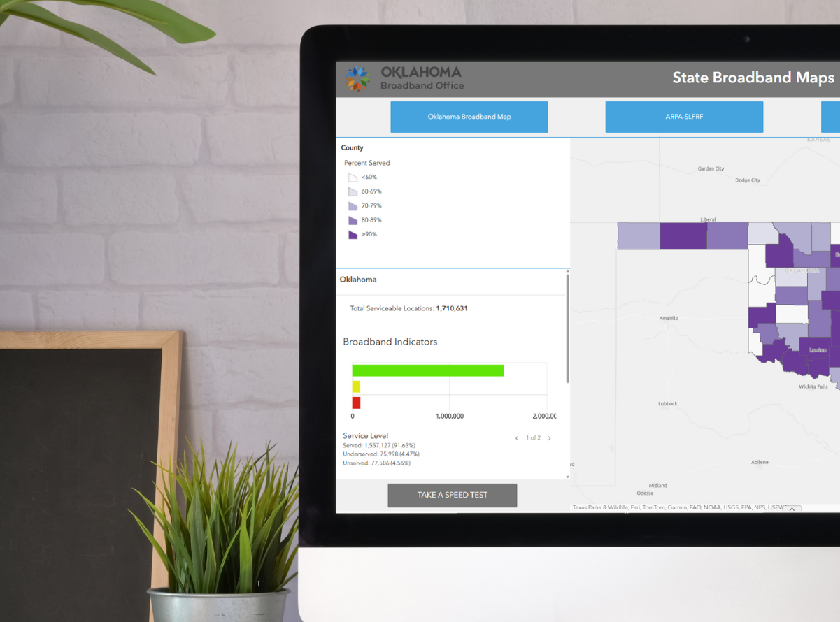
Oklahoma Broadband Map
The Oklahoma Broadband Map enables the Broadband Office to maximize the efficient use of grant funding for high-speed internet service buildout by detailing current service availability and the location of approved expansion projects.
This Oklahoma-specific map empowers users to:
- Search addresses
- View unserved/underserved/served locations
- Distinguish between different technologies in use
- See reported internet internet speeds by location
- Take a speed test
This map is unique because it outlines service availability within congressional districts, state legislative districts, and counties.
Data from this map is not used to determine grant funding. Instead, state law and federal regulations require the FCC National Broadband Map be used in funding decisions.
Future versions will provide additional features.
Last Modified on
May 21, 2025


