
Urban Functional Class Maps (UFC)
Please Note: Unless otherwise noted, presented
media is restricted for viewing and printing only.
The current electronic and printed versions of the Urban Functional Class Maps shall supersede all previous editions.
All maps are in color and in PDF format. Maps are designed for printing and may not view well until zoomed in.
Introduction to UFC Maps.
The urban areas are further divided into the small urban and urbanized areas. Urban areas are urban places designated by the Bureau of Census according to the population densities. An urban place with population between 5,000 and 49,999 becomes a small urban area. Any urban place with population less than 5,000 will fall into the County Collector System. The urbanized areas are urban places with a population of 50,000 or more.
Select the individual city maps/urban areas below or click here to download them all (14mb).
Multi-Sheet Maps
Oklahoma City
Oklahoma City (East Central)

Oklahoma City (East)

Oklahoma City (North Central)

Oklahoma City (North)

Oklahoma City (Northeast)

Oklahoma City (Northwest)

Oklahoma City (South)

Oklahoma City (Southwest)

Oklahoma City (Southeast)

Oklahoma City (West Central)

Oklahoma City (West)

Oklahoma City Downtown

Norman Downtown

Oklahoma City Reference

Tulsa
Tulsa (Central)

Tulsa (East Central)

Tulsa (North Central)

Tulsa (North)

Tulsa (Northeast)

Tulsa (Northwest)

Tulsa (South Central)

Tulsa (Southeast)

Tulsa (Southwest)

Tulsa (West Central)

Tulsa Downtown

Tulsa Reference

Single Sheet Maps - Urban Functional Class Maps by City
Ada

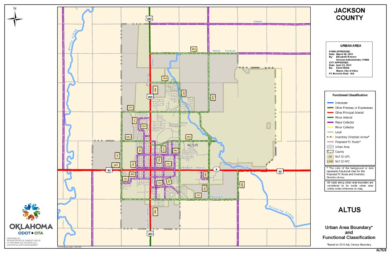
Altus
Alva

Anadarko

Ardmore

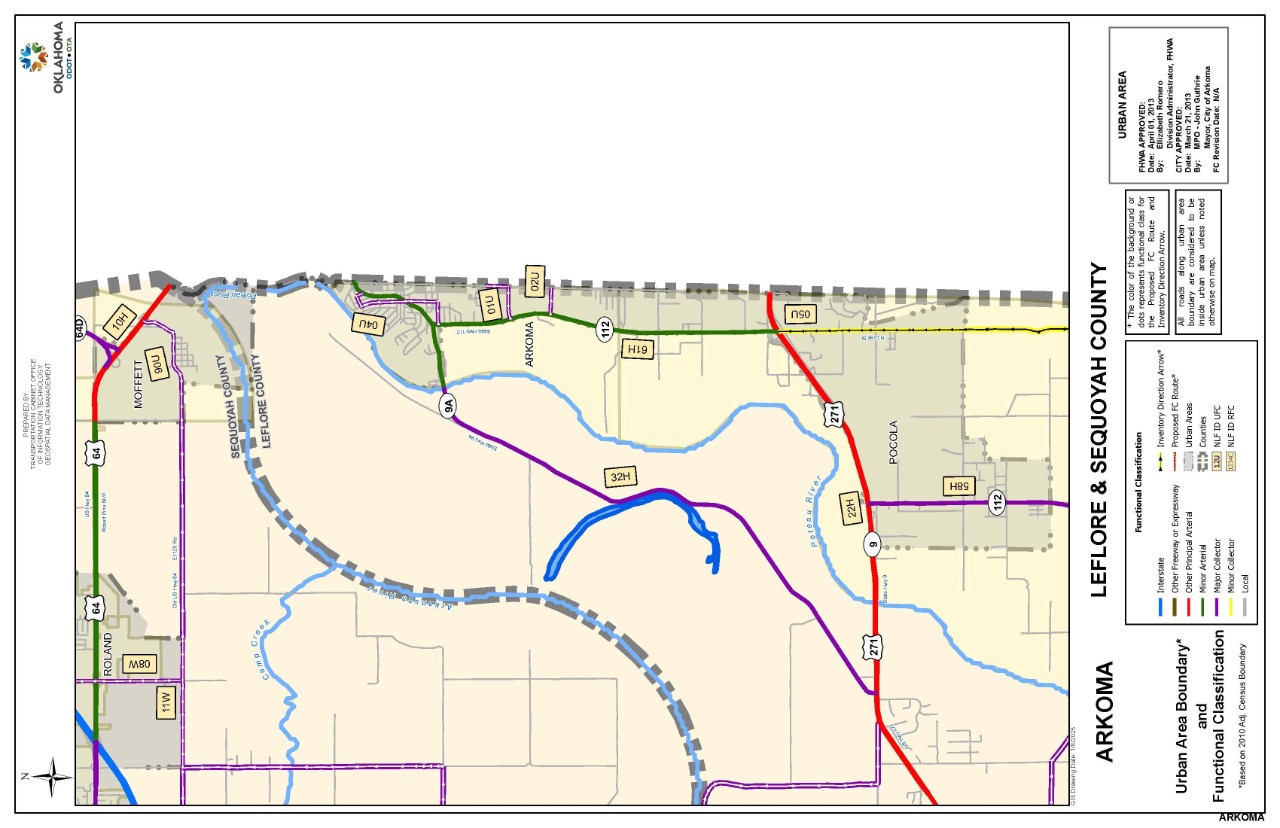
Arkoma
Bartlesville

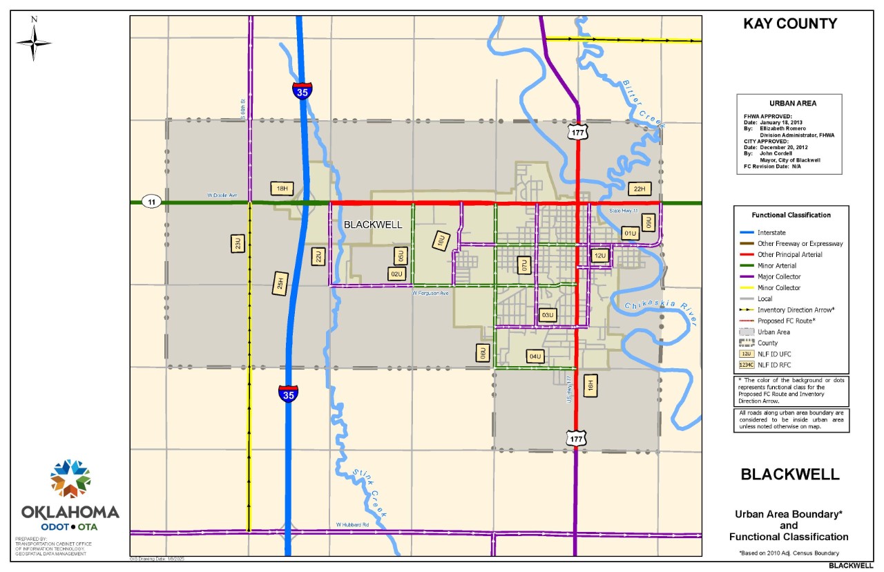
Blackwell
Chickasha

Claremore

Clinton

Cushing

Duncan

Durant

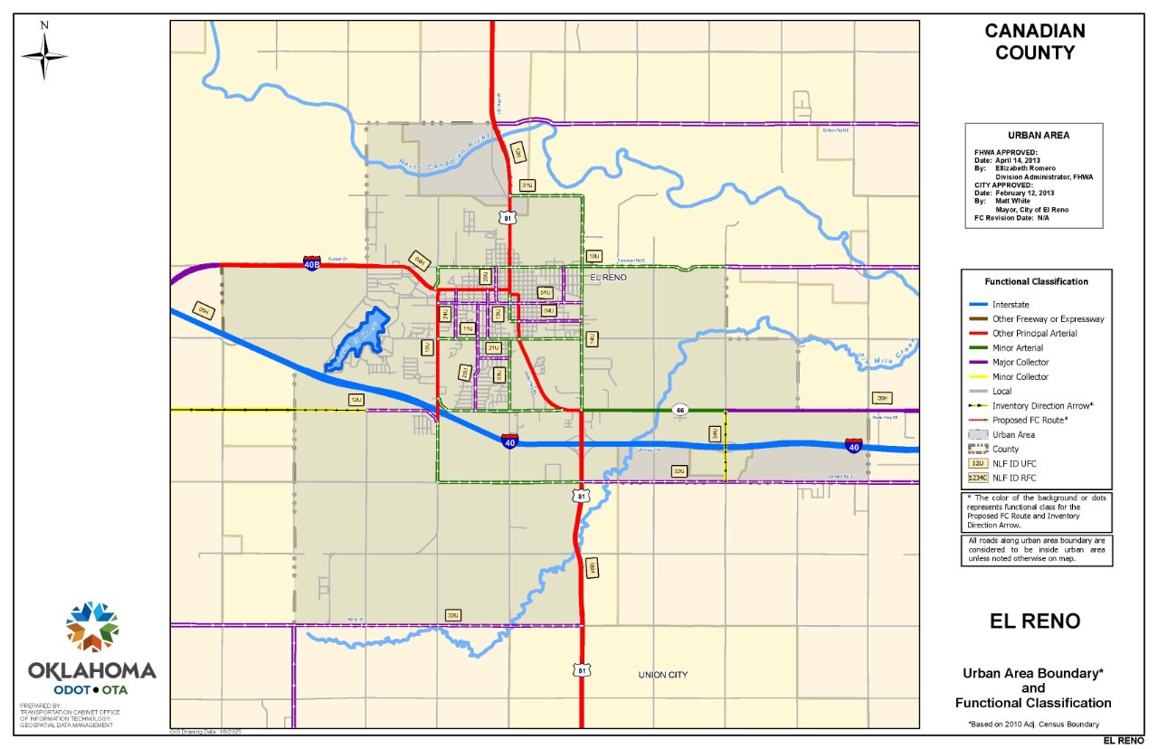
El Reno
Elk City

Enid

Grove

Guthrie

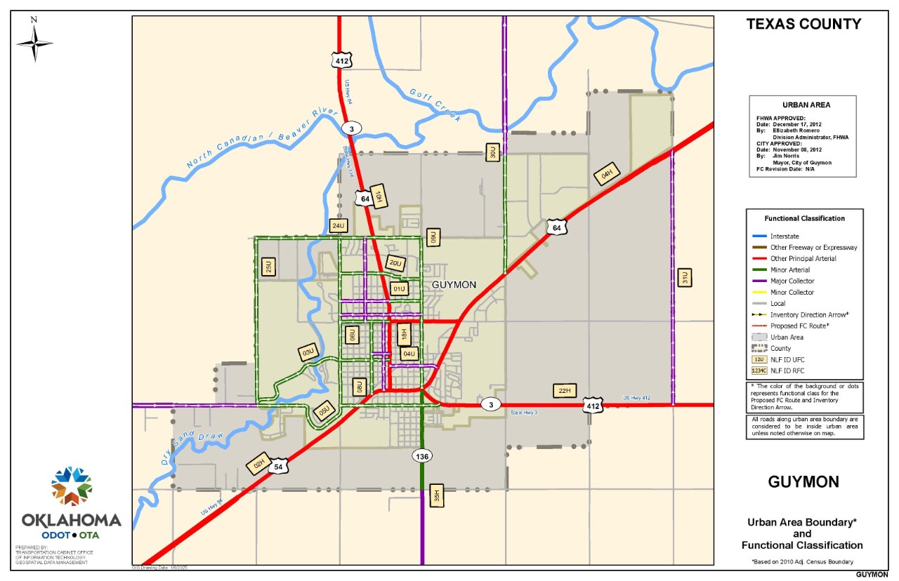
Guymon
Henryetta

Holdenville

Hugo

Idabel

Lawton

McAlester

Miami

Muldrow/Roland

Muskogee

Okmulgee

Pauls Valley

Perry

Ponca City

Poteau

Pryor

Purcell

Sallisaw

Seminole

Shawnee

S. Coffeyville

Skiatook

Stillwater

Tahlequah

Vinita

Wagoner

Watonga

Weatherford

W. Siloam Springs

Woodward

Please let us know if there are any issues with any of the maps here: gis@odot.ok.gov